Fleet telematics · System architecture, development, design
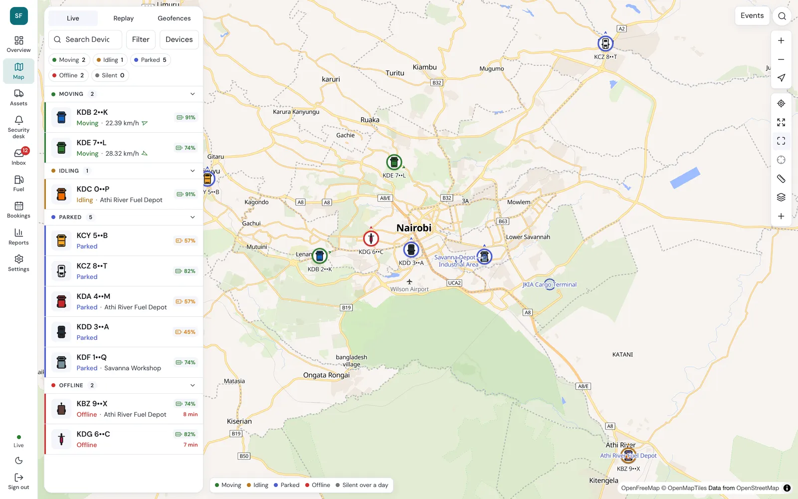
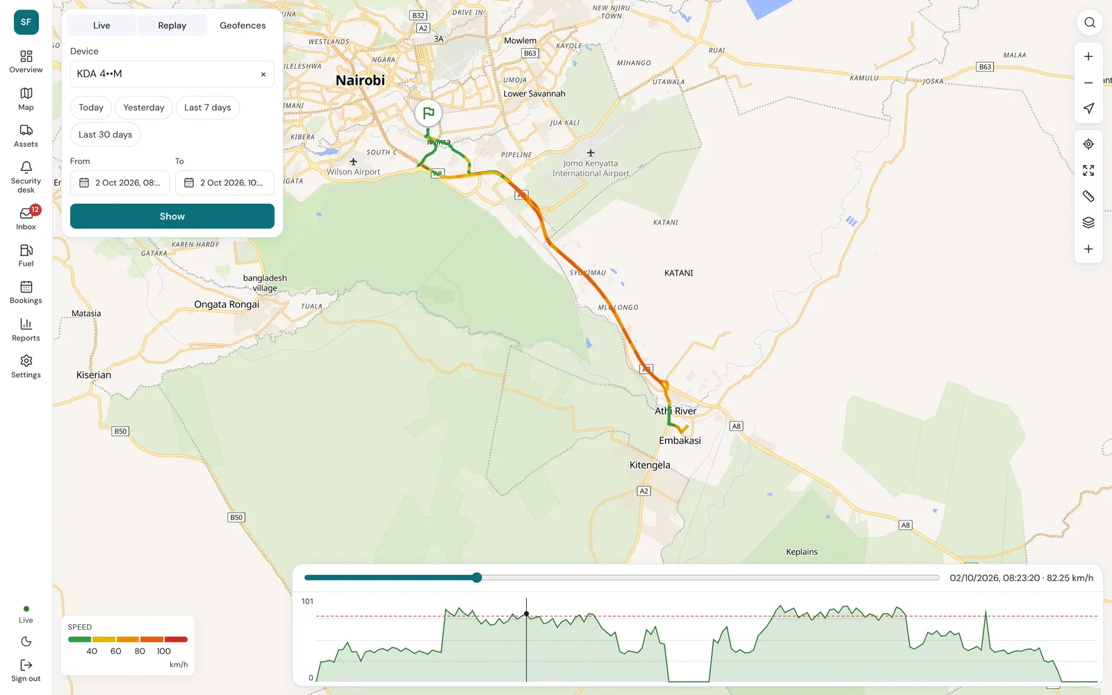
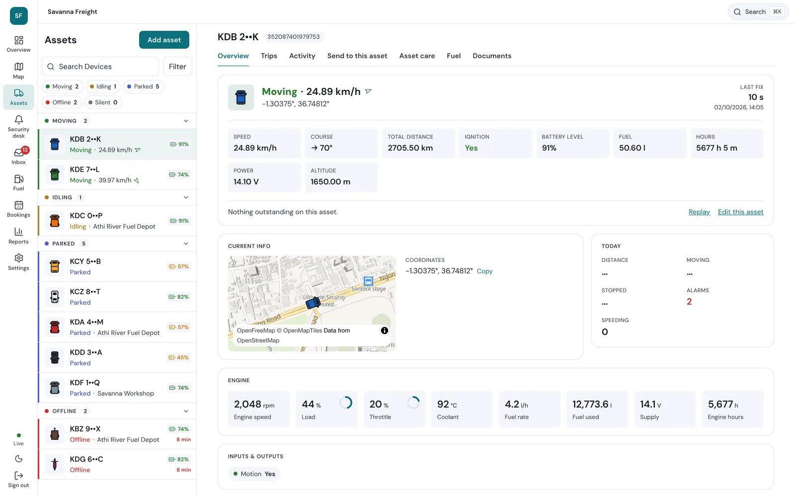
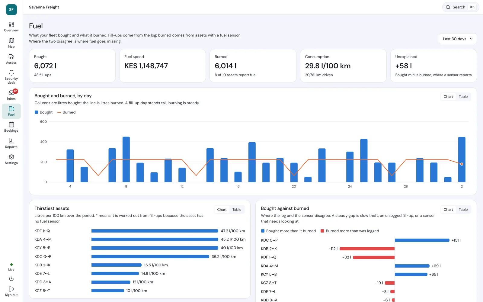
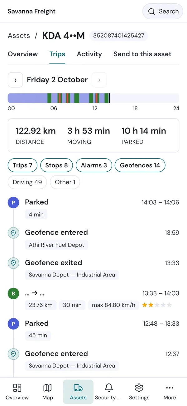
A fleet tracking platform: a live map of every vehicle, trip replay coloured by speed, per-vehicle engine and sensor readings, geofences, an alerts inbox, and a fuel view that sets litres bought against litres burned to show where fuel goes missing. It works as well on a phone as on a desk.
Demo credentials are available on request.
ColdTrace
Nexleaf Analytics · Frontend and mobile engineering
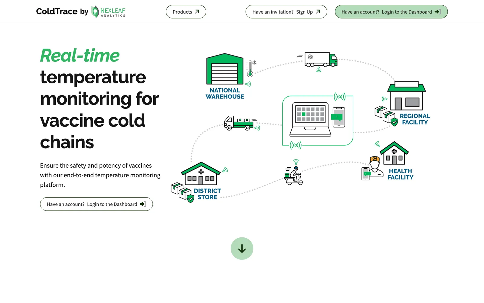
Real-time temperature monitoring for vaccine cold chains, from national warehouses down to health facilities, so vaccines stay potent to the last mile.
ColdTrace site: the public face of the platform and the way into the analytics dashboard.
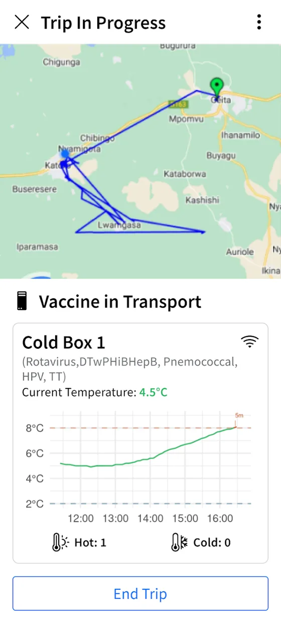
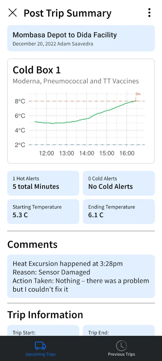
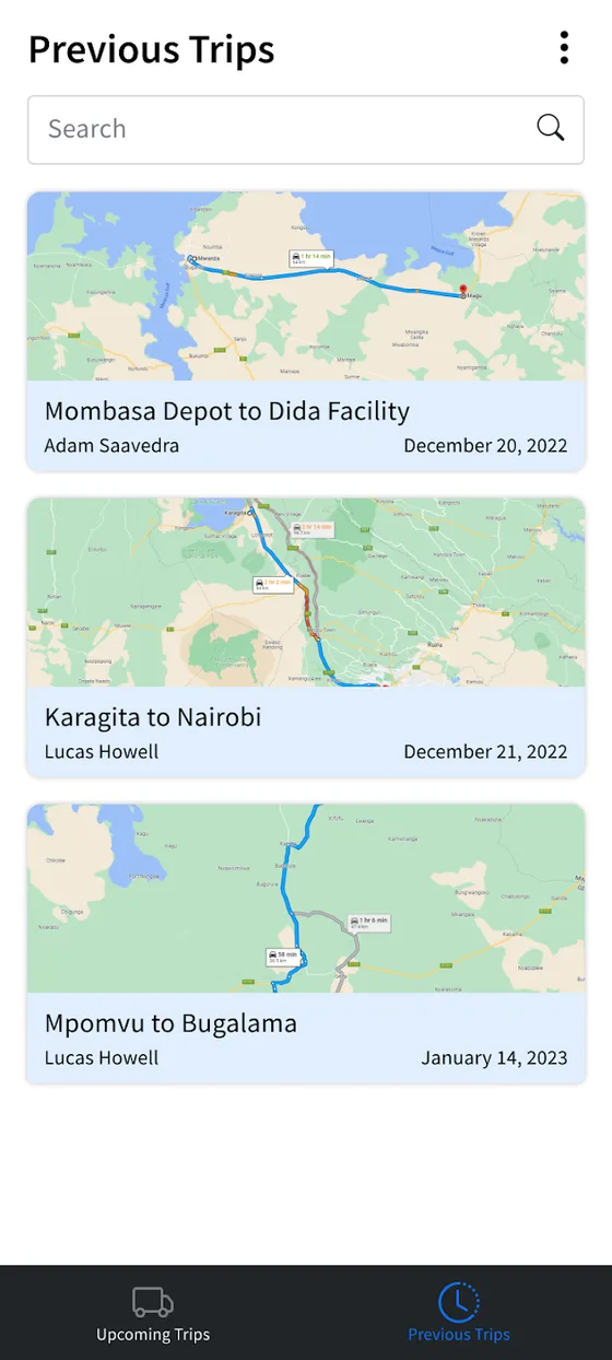
ColdTrace Transport: Nexleaf's first Android app, which I designed and shipped. Built with Ionic, it pairs over Bluetooth Low Energy with a sensor in a cold box, tracks the route and alerts health workers when vaccines leave the 2–8 °C range on a trip, then files a summary of every excursion.
Geospatial Research International · Android app and API
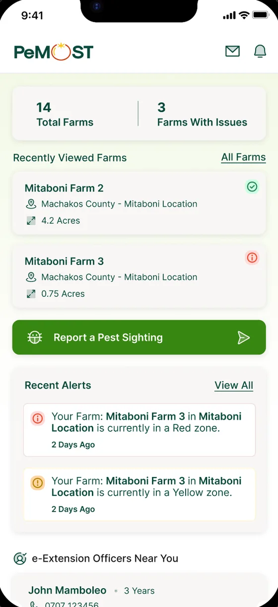
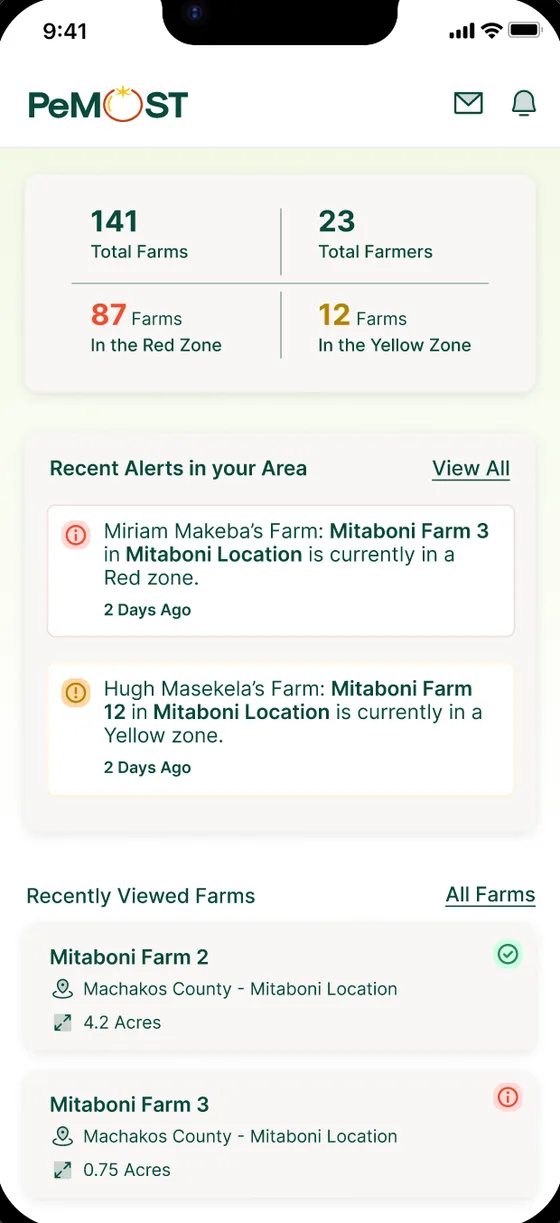
Pest Monitoring & Surveillance of Tomato: an Android app that uses machine learning on satellite imagery to flag tomato farms likely to be hit by pests. Farmers, agrodealers and extension officers get pest alerts, an agrodealer finder, farm maps and buffer-zone maps. Paid features are gated by a list of feature keys from the backend, so moving a feature between tiers needs no app release.
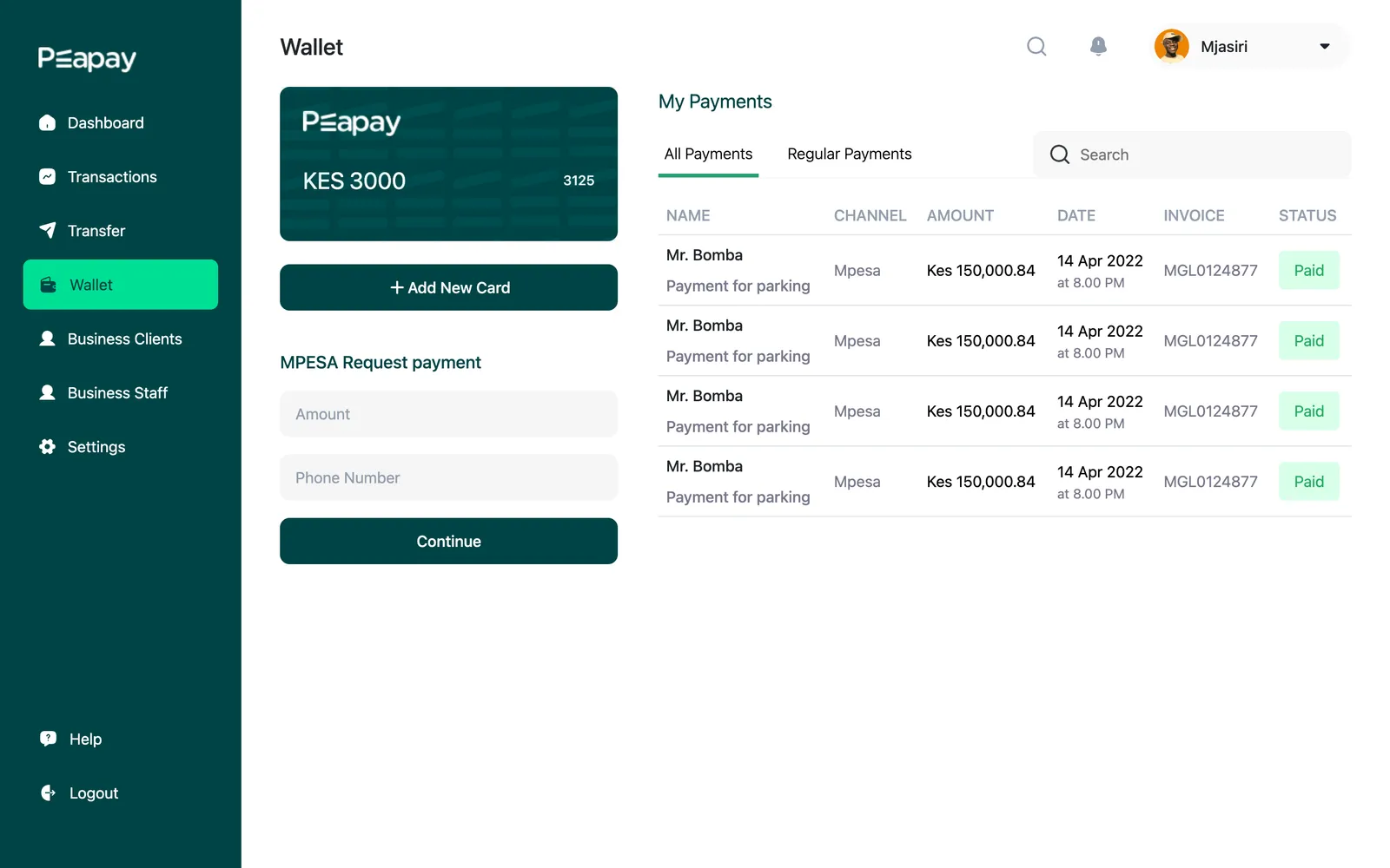
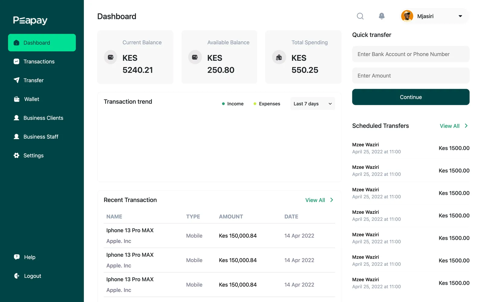
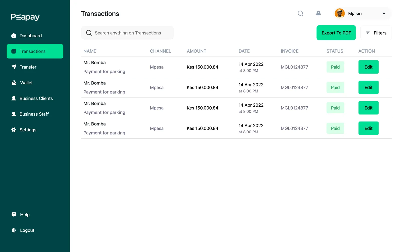
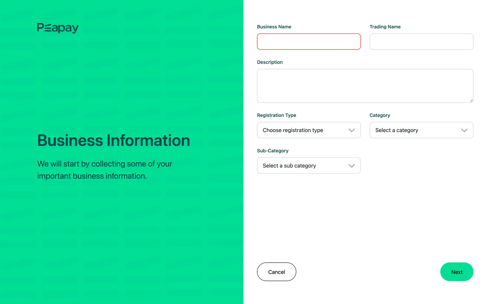
A payments dashboard for businesses. They sign up with their registration details, request payments over M-Pesa into a Peapay wallet, track and export transactions, schedule transfers, and manage their clients and staff. Built in Angular with NgRx for state.
Afrospatial
Architecture, frontend, CMS, DevOps
A digital magazine for the geospatial industry in Africa: articles, daily news, issues, events and a member directory. An Nx monorepo with an Angular SSR frontend and a Strapi CMS, deployed with zero downtime behind Traefik. I wrote up how it is built in a three-part series.